
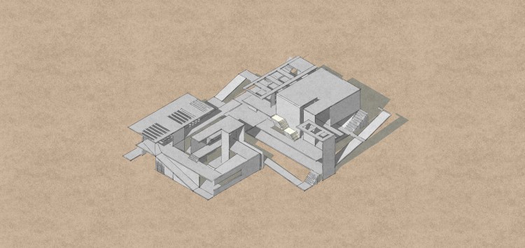
The poster includes sketches, diagrams, plans of 3 different codes, 6 sections, 3 elevations, 1 isometric drawing. Elevations, and isometric drawing has shadows according to sun rotation. There is site plans which are 1/500 and 1/20.000. In 1/20.000, there rotation of wind and rotation of the sun. In 1/500, the location on the topography can be observed much better.
As you see from sketches and drawings from poster, there is dominant orientation to horizon which is the ends of the mountains as a line between ground and sky. It is actually really a wonderful vista that is why people are interested in the horizon. The orientation leads to a direction. While the project is breaking the direction,it protects the visual relation with the vista and it enriches the vista with different levels, frames etc.The model consists of three main spaces. One of them which is the first one, on the slope, feels the slope and enrich the slope particularly. The second one plays actually like a transition part and it does not touch the ground. The third main spaces is combined and located on the salt which the flat land. Between the three different main parts there is physical relation and visual relation obviously.The topography of the salt lake has slope which ends on the flat land as you see from diagrams and model. The spaces provide different experiences for human and human goes down, I mean human goes the flat land(salt area) with these different experiences. The level changes are not directly. Human changes level experimentally.
Furthermore, you see at the right of the poster some sketches. These sketches tell that the model has different paths horizontally.It means they diverse in between themselves. For example, one of these starts from the beginning and it end on the salt, the other one starts middle of the slope area and it and on the salt area, one of them starts from the beginning which is the before the slope and it ends on positive code. These all provides different experiences and it makes the vista and the environment rich.


The black part in the model represents the salt area in real. The levels which are changing represents contour lines from topography. The model is designed by the white photo-block. There are different kinds of stairs. Some of the stairs have gaps between the footsteps and it provides visual relation. Some of them has space under themselves and it provides visual experience with another space. There are ramps which are connection units for the spaces and paths. The ramps help human to arrive the flat land. The model has different openings. Spaces, openings, paths , and the other architectural elements multiply and diverse in between themselves.
That is the isometric drawing as a sketch style.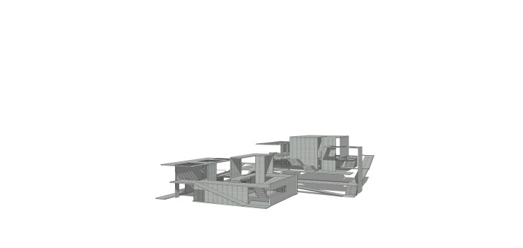
In terms of tectonic. The project material is concrete all.The photograph is an example for the showing material is the 2 points perspective drawing. The columns and stairs, too. The columns are not just for structure actually, for example their measure is like the 20cm*150cm etc. Their purpose is either standing the mass and creating space. Columns divide the spaces.
